Cassini Maps
Cartography (or Map making) is important because they help a state to recognize its boundaries, help in administrative services such as tax collection, providing healthcare, policing and to consolidate economic markets. Before the 17th century, maps depicting countries, towns, villages, etc., were inaccurate. They could not be relied upon for administrative purposes.
In 1670, on the orders of the King of France, Giovanni Domenico Cassini (Cassini I) begain his work to create a map of France using a new technique, never before used for map making, called as "triangulation". The work involved physically walking across the landscape of France, taking measurements and making a map on a scale which could be useful. He could not complete his work and died in 1712. His son Jacques Cassini (Cassini II) took over the work from where his father left but could not finish it either; he died in 1756. Jacques's son Cesar-Francois Cassini de Thury (Cassini III) continued his father's work but could not complete it. It was, finally, completed by Casar-Francois's son Jean-Dominique, Comte de Cassini (Cassini IV) in 1793.
The map drawn by the Cassini family was commonly known as the "Map of Cassini" or "Map of Academy" (the "Académie des Sciences", an institution in which they served as members while doing their map work). It is the first official map of France. It was a detailed map of France. It featured dwellings, farms, churches, crops, roads, hills, mountains, grasslands, and other general features of the landscape of France. The level of precision of the road network drawn in the map is such that the current sattelite photographs of France match with that of the hand-drawn maps, drawn some 220 years back. The maps are still consulted by researchers and has influenced map making in other parts of the world.
The scale of the map is 1:86,400. The complexity of the work is such their team had to invent their own apparatus.
Apart from the great work of map making, the Cassini family is known for its contribution to Mathematics, Engineering and Astronomy.
Cassini I discovered four satellites of the planet Saturn and the divison of Saturn's rings. The Cassini Division of Saturn's rings is named after him. He also introduced Indian Astronomy to Europe. NASA's Cassini Voyager Spacecraft is also named after him.
Cassini II excelled in Astronomy. He measured the Arc of the meridian, including Earth's radius. The asteroid "24102 Jacquescassini" is named after him.
Cassini III excelled in Astronomy and Cartography. Many important components of the Cassini Map were created under his supervision. His other noted works include the correction of the Paris meridian. The post of Director of the Paris Observatory was created for his benefit in 1771.
Cassini IV was involved in the first Anglo-French survey for determining latitude and longitude of Greenwich. He was elected an Honorary Member of the American Academy of Arts and Science.
The Cassini family's hereditary work on mapping France spanning four generations and about 120 years of work is a rare event and achievement. A similar but different family contribution to Science is of the Swiss family of Bernoulli's.
One interesting thing to note is that the Cassini's were Italians. They lived in France.
Map Traps
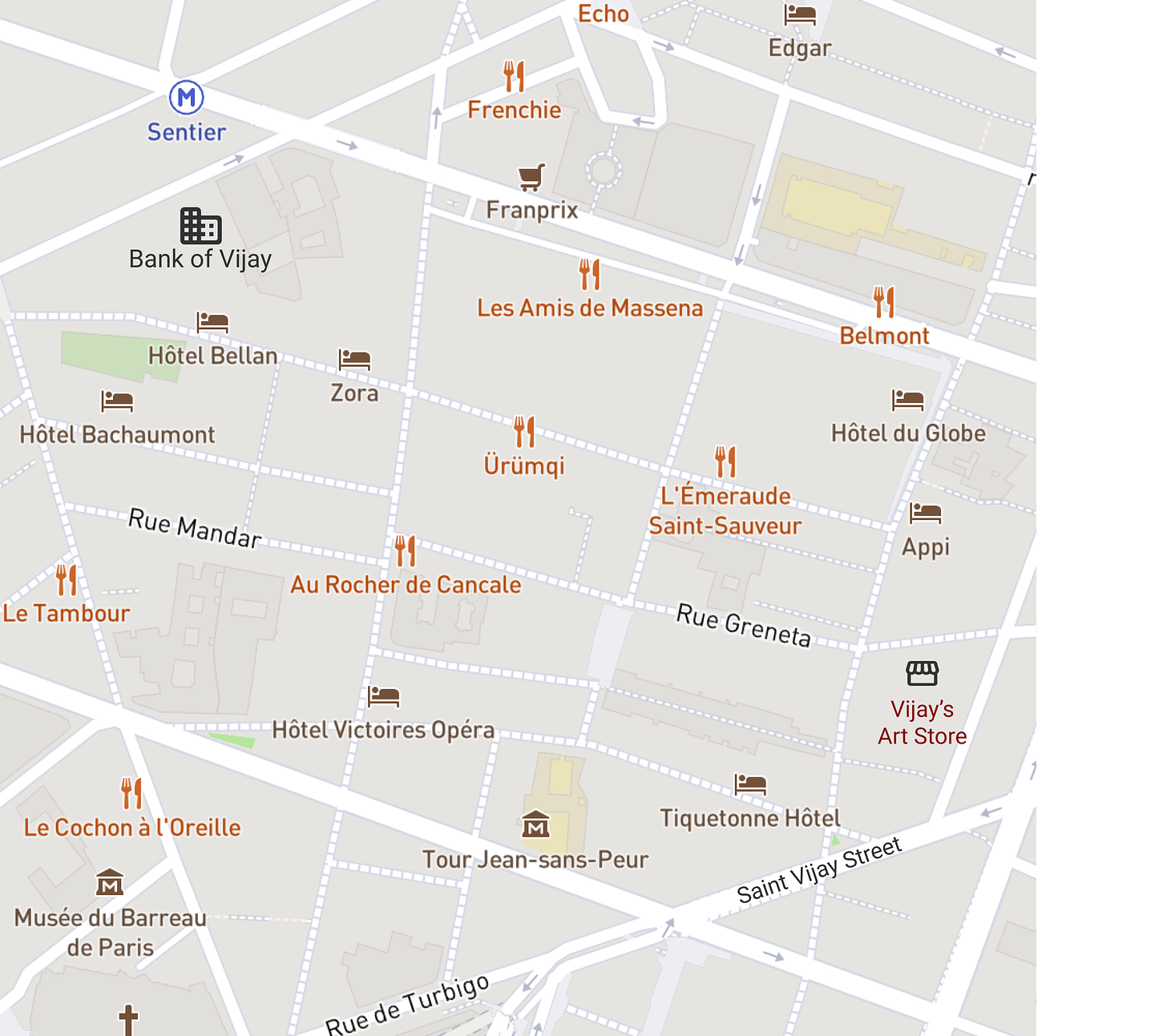
Map making is time consuming and hard work. Just imagine that you are a map maker, you worked hard on creating a map of your local community only to find that someone else has stolen or copied it and put their own name on it. How would you protect yourself from such an act? One way is "Map Traps", more commonly known as "Tap Streets". Trap Streets are unique and deliberate wrong little details designed to cause no problem to the map user but a big problem for anyone trying to copy it. For example, sometimes a cartographer may make a road more bending than it actually is, or deliberately spell the name of a street wrong, or create a complete non-existence place on the map.
Map traps have led to some interesting legal battles in the past. In 1930, in a map of the State of New York, the map maker created a fictitious (or fake town) called "Agloe". In 1950, a shop was built on that spot and was named "Agloe General Store", after the shop owner referred to the original map while building the shop. Years later, another company copied the map. The original map maker sued the copying company based on the map trap. However, the courts decided that it did not account for copying as Agloe General Store is now a real place.
The names of the map companies are deliberately omitted in this Article. I assure you that this is not an "Article Trap".
In a recent case of 2011, a company named "AA" copied maps of a company named "Odnance Survey". When caught, it was forced to pay 20 million pounds. Apparently, the traps in the Ordnance Survey map are very sophisticated, some of them involving fingerprinting techniques.


